Oasis
Siwa:
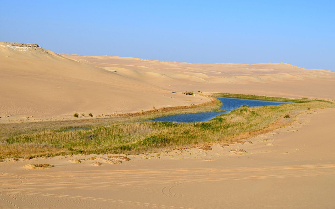
The most inaccessible of all Egypt’s oases until very recently, is also one of the most fascinating. On the edge of the Great Sand Sea, its rich history includes a visit from Alexander the Great to consult the Oracle of Amun in 331 B.C. Siwans have their culture and customs and they even speak a language of their own, Siwi, rather than Arabic. Many women still wear traditional costumes and silver jewelry like those displayed in The Traditional Siwan House museum in the town center. Siwa remains one of the best places to buy jewelry, rugs, baskets, traditional robes and headdresses decorated with antique coins.
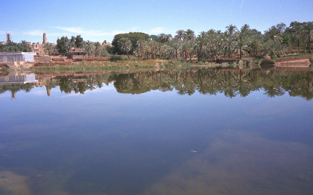
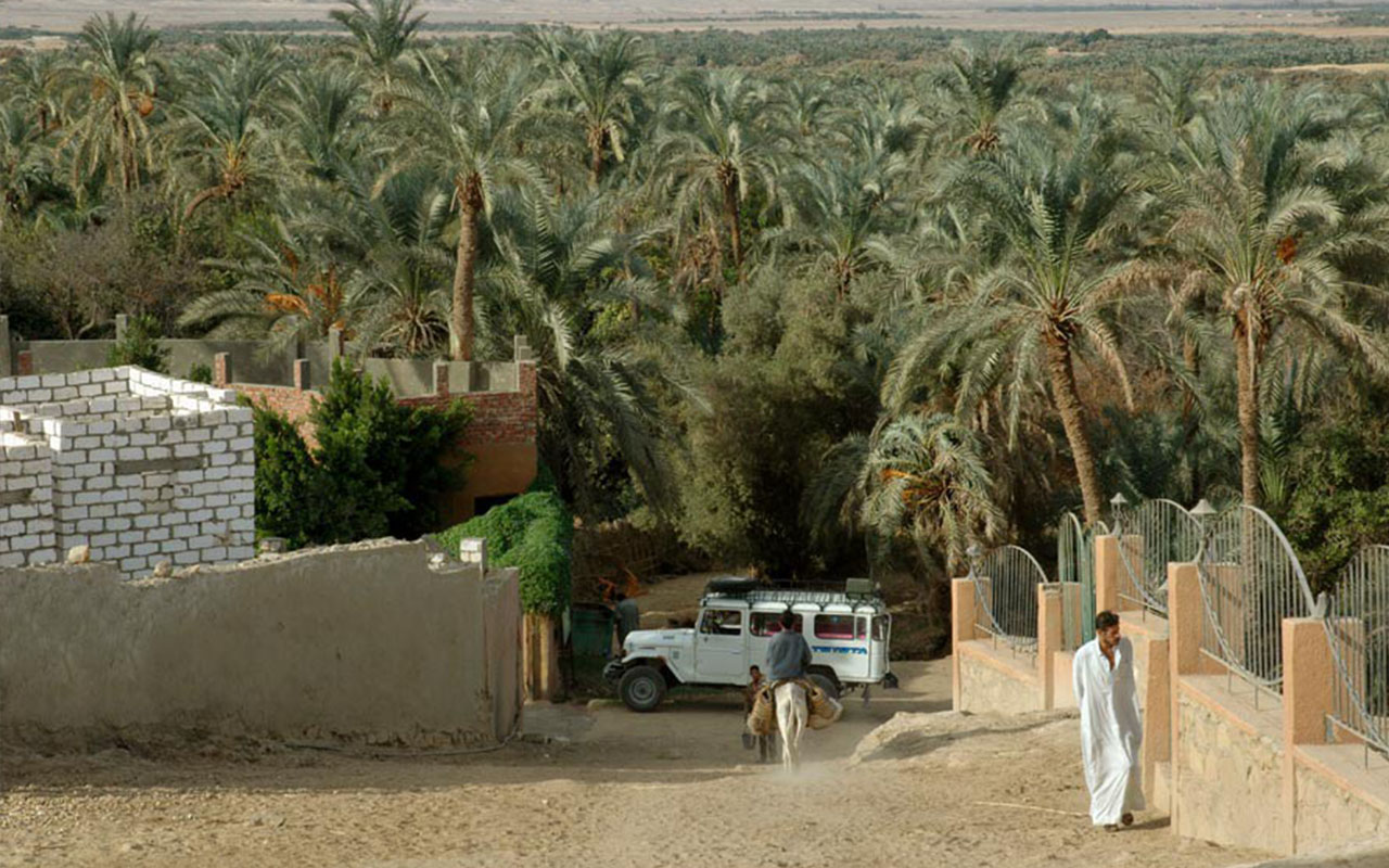
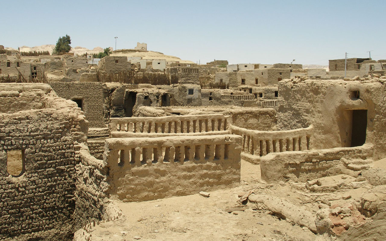
The original settlement, Aghurmi, was superseded by Shali, founded in 1203. Built of salt-impregnated mud of kharsif, the fortress-like community expanded upwards rather than outwards. Set among thick palm groves, walled gardens and olive orchards, with numerous freshwater springs and salt lakes, modern Siwa clusters beneath the remains of ancient Shali. Climb through the ruins of the old city for magnificent views of the whole oasis. Walk, hire a bicycle or ride in a caretta (donkey cart) to outlying sights and bathing places.
The area has a nice climate, chilly in winter, hot in the summer and moderate in the spring and autumn. The area is famous for its dates and olives, and is one of the most beautiful landscapes in Egypt. Olive oil is still made in the area by crushing the olives from the 70,000 olive trees in the area with stones. The dates are gathered by “zaggala” (stick bearers), who must remain celibate until the age of forty, and the area boasts some 300,000 date trees.
It is located on the old date caravan route, yet until recently, it received few other visitors and retained much of its heritage.In fact, until the battles, which took place around the oasis in World War II, it was hardly governed by Egypt, and remained mostly a Berber (Zenatiya) community for the prior thirteen centuries. Interestingly, each October there is a three-day festival during which Siwans must settle all of their past year’s disputes.
The area is also famous for its springs, of which there are approximately 1,000. The water is sweet, and is said to have medical properties.
Bahareya :
Set in a depression covering over 2000 sq. km. Bahariya Oasis is surrounded by black hills made up of ferruginous quartzite and dolerite. Most of the villages and cultivated land can be viewed from the top of the 50-metre-high Jebel Al-Mi’ysrah, together with the massive dunes, which threaten to engulf some of the older settlements.
Wildlife is plentiful, especially birds such as wheatears; crops (which only cover a small percentage of the total area) include dates, olives, apricots, rice and corn. The Oasis was a major agricultural center during the Pharaonic era, and has been famous for its wine as far back as the Middle Kingdom. During the fourth century, the absence of Roman rule and violent tribes in the area caused a decline as some of the oasis was reclaimed by the sand.
There are a number of springs in the area, some very hot, such as Bir Al-Ramla but probably the best is Bir Al-Ghaba, about 10 miles north east of Bawiti. There is also Bir al-Mattar: a cold spring which pours into a concrete pool
Otherwise near the Oasis are the Black and White deserts, though traveling to the White desert seems not practical from the oasis. The Black Desert was formed through wind erosion as the nearby volcanic mountains were spewed over the desert floor. There are also the ruins of a 17th Dynasty temple and settlement, and nearby tombs where birds were buried.
The Town of Bawiti :
With some 30,000 inhabitants, Bawiti is the largest village in the oasis; its picturesque hillside quarter overlooks lush palm groves irrigated by the Ain Al-Beshmo, a natural spring hewn from the rock in Roman times which gushes water at 30 degrees C. The neighboring village of Al-Qasr was built on the remains of a 26th dynasty temple-nearby, at Qarat Hilwah, you can still see tombs with paintings dating from the same period. The town center is modern, while outside the center are mud-brick houses. Recently, the town has received considerable press due to the find of a huge (possibly the largest) necropolis of mommies from the Greco-Roman era.
Farafra:
Known as Ta-iht or the Land of the Cow in Pharaonic times, is a single village. The most isolated of the New Valley Oases it is renowned for its strong traditions and piety. According to folklore the villagers once lost track of time and had to send a rider to Dakhla so they could hold the Friday prayers on the right day. The oldest part of the village, on a hillside, is next to peaceful walled palm groves; a short fide away there are hot sulfur springs at Bir Setta and swimming at El-Mufid Lake.
As in other oases, many of Farafra’s houses are painted blue (to ward off the Evil Eye) but here some are also decorated with landscapes, birds and animals, the handiwork of local artist, Badr.A combination house, museum and studio exhibiting his paintings and ceramics are situated in a garden full of sculptures made from objects found in the surrounding desert. Another local, known as Mr. Socks, sells beautiful hand-knitted camelhair sweaters, socks and scarves. Day trips by jeep and camel treks from, here to the White Desert, Bahariya, Dakhla and Siwa can be arranged through Saad’s Restaurant.
Qasr Al-Farafra:
The only real village in the Farafra Oasis, Qasr Al Farafra is a quite and relaxing place, which represents most of what it has to offer tourists. There are few tourist accommodations in the area, but that may change in the near future. Most of the description of the Farafra Oasis applies to the town itself.
Kharga:
used to be the last but one stop on The Forty Days Road, the infamous slave-trade route between North Africa and the tropical south. Today, it is the biggest New Valley oasis and its modern city houses 60,000 people, including 1,000 Nubians who moved here after the creation of Lake Nasser.
Camping facilities are available near both villages. Further south is Baris Oasis, the second largest settlement in Kharga.
Houses designed in traditional Nubian style by Hassan Fathy remain uninhabited- local people refused to live in them because of their similarity to tombs and building stopped in the late 1960s. Its name derives from Kush, the ancient Sudanese capital, which traded with Egypt along the Nile. Arcgeologists are still unearthing the ancient city of Kysis with which the temple is associated; and elaborate system of clay pipes and abandoned Christian church, suggest that Kysis was abandoned when its underground springs dried up but the exact date remains a mystery.
The City of El Kharga:
El Kharga, as a product of the New Valley Project, is a modern and growing city with an ancient past. The Egyptian government has plans to make the area very attractive to tourism.
The main square in town is Midan Nasser, where there is a statue of a woman holding her children. She represents Egypt, and her children are the oases.
There are a number of monuments in the area, as well as a museum. It was from El Kharga, the ancient trading route that the Persian King Cambyses’ army of nearly 50,000 left Kharga in 525 B.C. and perished in a sandstorm.
Dakhla:
The Dakhla Oasis lies to the northwest of Kharga and is also about 310km to the southeast of Farafra. This oasis has a population of about 70,000 people, is the farthest oasis out of Cairo and is considered one of Egypt’s most beautiful oases.
Dakhla sits in a depression surrounded by pink cliffs. There are about 30,000 acres of cultivated land. Most of its 70,000 or so residents are farmers who constantly fight the battle of the dunes that threaten their fields and orchards. The fields and gardens are filled mostly with mulberry trees, date palms, figs and other citrus fruits.
Dakhla has retained most of its culture and charm even though it has increased in size by about double and government funding and technical training has revitalized the economy. Dakhla is the only place in Egypt where new water wheels, which are driven by buffaloes, are constructed. They are made of palm timber and clay jars and are called “saqiyas”. The oasis is connected to Kharga by a 120-mile (200 km) road that has buses running daily.
Researches found out that the Oasis has been inhabited since prehistoric times, and that there was once a huge lake here. There are Neolithic rock paintings that indicate that the lake was frequented by elephants, buffaloes and ostriches. As the lake dried up, the inhabitants migrated to the Nile Valley and were probably some of its first settlers.
Dakhla Oasis is dominated on its northern horizon by a wall of rose-colored rock. Fertile cultivated areas growing rice, peanuts and fruit are dotted between sand dunes along the roads from Farafra and Kharga in this area of outstanding natural beauty. Dakhla Oasis is a collection of 14 different settlements, dominated on its northern horizon by a wall of rose-colored rock. Fertile cultivated areas growing figs, peanuts and fruit are dotted between sand dunes along the roads from Farafra and Kharga in this area of outstanding natural beauty.
Al-Qasr Village:
Al-Qasr at the foot of the limestone cliffs and on the edge of the lush oasis is little changed from medieval times. With a population of around 700, the town was built from its Roman ruins and has narrow covered streets.
The sites of interest include a pottery factory and an old corn mill. Mud bricks are still made in an ancient manner and there is a foundry where men still work mettle using bellows flamed fires.


